Thursday, June 30

June 30 – Savanne to Thunder Bay


Bike log: 110.0 km, 627m of vertical, avg. speed 26.4 km/h

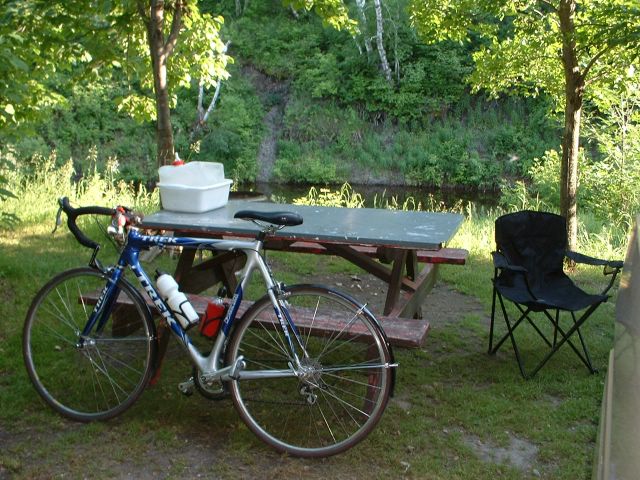
Another tough day even though it was not that far! Headwind with a heavy rain on the side, and a flat tire to boot. Only my 2nd of the trip, not too bad I guess. This one was due to the nail sticking out of a discarded furniture caster combined with the fact that the rain made it impossible for me to wear my glasses.

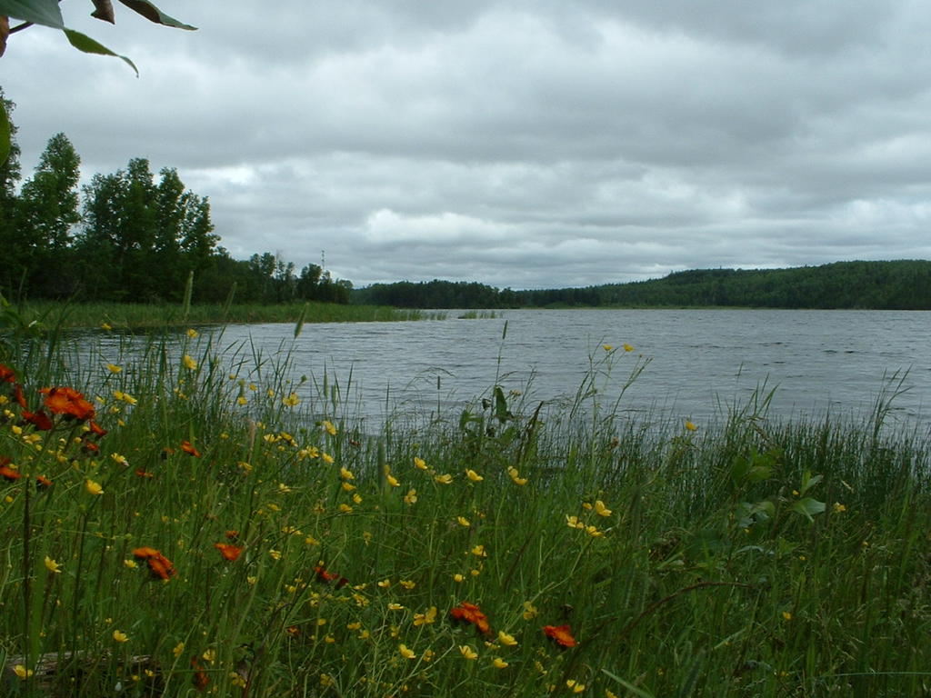
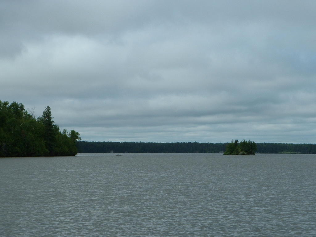
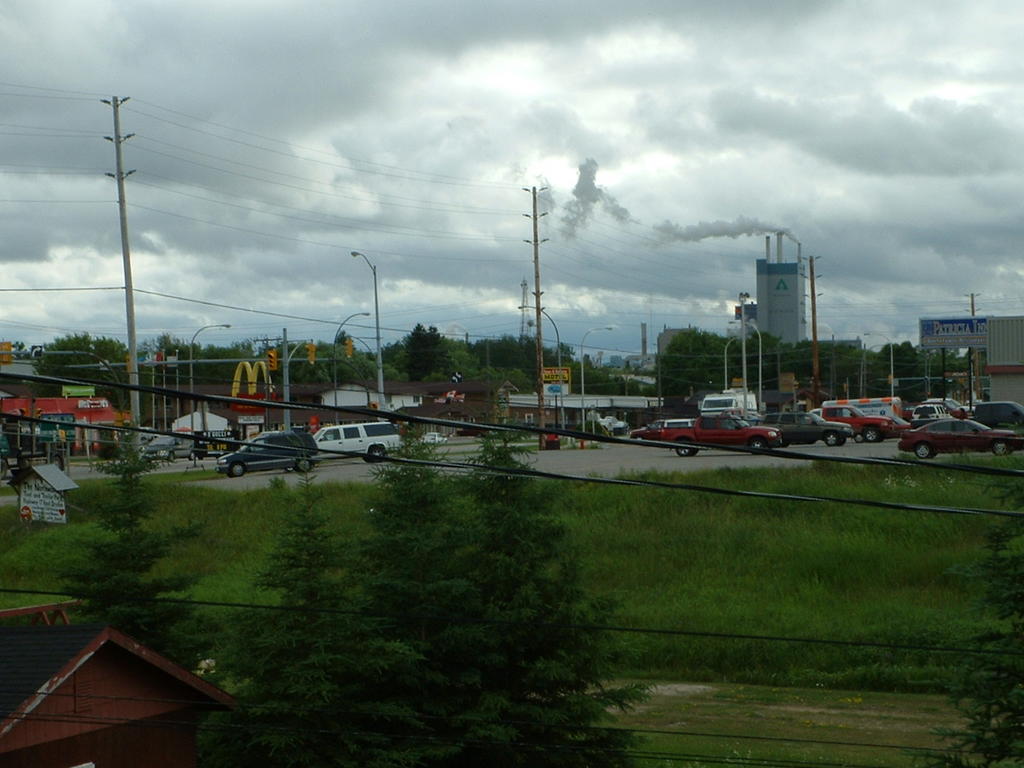
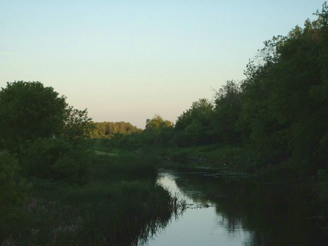
This was a pretty desolate stretch of the highway. The shoulder was not as good as it has been, but is still quite ridable. We passed through a “town” that was on the map called Raith, but there was almost nothing there. A very suitable name! It was just about the only thing on the map between Thunder Bay and the place we stayed last night. However, as we got closer to Thunder Bay, there were a few more hills, and then finally – Lake Superior!

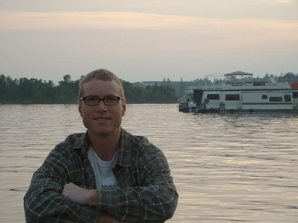
The rain was pretty intense today. For the last half of the day, I decided to take off the rain gear and just go with my bike shirt & shorts with no resting at all until we made it here. It was not too cold in the afternoon (around 18C) so as long as you kept moving it was tolerable. With full rain gear on, it was just too hot! Plus I was pretty much soaked anyway, the wind just blew the rain down the front anyway. Needless to say I was dripping wet by the time we got here, so we decided to take July 1 off, get a hotel here and get dried out! It was actually kind of fun, and gave me a chance to push things on the bike a bit. Most days, I do not go at "full throttle" at all because I think it is a bad idea to push hard and risk burn out with so many miles to go every day. But the rain and the promise of a rest day gave me a reason to really go for it - more like the style of riding I am used to!

It appears that we have been staying just ahead of the floods – I read that Manitoba is now getting it. I am not surprised, because we have gone through several deluges and most of the rivers appeared to be very close to their limit already! Watch out, southern Ontario, here we come…

Wednesday, June 29

Friendly campground food inspector


There was a dog on patrol in the campsite. He quickly became our friend, it was a slow day. He looked pretty interested in the food we were cooking which is very unusual behaviour for a dog. I’m pretty sure he did not know we are vegetarians. He politely ate the carrots that I gave him.

I passed another smoking cross-Canada biker today – hard to believe! I also saw what looked like a turkey vulture from less than 10 feet away. Weird looking – it looked like an eagle but it had a small red head that appeared to be bald. I surprised it as I biked past, and it flew up from the side of the road. Very big up close.

The shoulder on the road has deteriorated to what I would consider adequate. Still decent pavement (in most places) but it is down to fairly narrow in some places. Still better than a lot of the shoulder in Manitoba!

There were a couple of campgrounds not far past Ignace that we passed today. They did not look too bad. We had not found mention of them in any of the 4 camp/guide books that we have. On this trip we have frequently thought how great it would be to have a completely comprehensive list of campgrounds! I would gladly have traded a few km’s today for km’s yesterday, so we would have pushed on a bit if we had we known. I guess bike camping is not too common of an activity – and if you are in a car it is not so crucial to know that the next campground is exactly XXX km along.

June 29 – Ignace to Savanne (just past Upsala)

Bike log: 126.1km, 556m of vertical, avg. speed 24.2 km/h

I take back what I said about taking it easy for the next few days! Today was hard work. Lots of headwind for the whole day, and getting stronger throughout. It was pretty flat so there was not much of anything to help break the wind. Almost like being back on the prairies, but there was a thin line of trees alongside the road to help a little bit, and a few more curves to break things up. I noticed that the practice of keeping a 20m wide swath of trees alongside the highway in order to mask a giant clearcut is not something that is restricted to BC.

It was a bit chilly today – I was in long sleeves and wore a windbreaker at times – but at least the rain held off until the ride was over. It is coming down fairly heavily now – it’s nice to be warm and dry inside the van!

We are camping at a fishing resort. There are cabins to rent, along with these campsites. Each campsite has its own dock. Looks pretty inviting, even though I don’t fish! Not very busy tonight, but I bet with the long weekend coming up, and being so close to Thunder Bay, it will be filling up soon.

Tuesday, June 28

I hope our neighbour doesn't come back to camp


I am not sure whether to be reassured or alarmed by the fact that there is a bear trap parked in the campsite across from us. I asked for a campsite near the showers and laundry (which are broken), maybe it’s a sore spot with them.

This weekend is a long weekend, so I am not sure what we are going to end up with for camping. Unfortunately, it’s hard to say exactly where we’ll be more than a day or two in advance (if at all possible) so we can’t make reservations. Oh well, I’m sure we’ll figure something out!

Lakes and flowers everywhere


The scenery continues to be incredible. It seems that around every corner there is another lake, and wildflowers everywhere! It is also great to see hills again. The trees are shorter here than they are back in BC – it reminded me of how I was shocked at the size of the trees when I first went out west!

It did not rain today, but it was pretty cool. I actually got a bit of a chill when I stopped for a snack break. Strange to be dealing with cold when it is nearly July, but this is Canada after all! There was a small headwind, today, but nothing like the prairies. The trees provide some shelter, and the road keeps twisting and turning, so it seems like the wind keeps changing – at least you get a break from the onslaught. A few more small hills today as well, but not much really. The shoulder continues to be good, but narrower than yesterday’s full lane.

June 28 – Dryden to Ignace


Bike log: 110.7 km, 520m of vertical, avg. speed 28.9 km

As planned, we made it to Ignace today. It seemed like a short day, and I guess it was. That was only the 4th time this trip that the time spent peddling was less than 4 hours. But there was not much option, the local tourist office in Dryden confirmed that there was no camping between here and Upsala which is about 110km down the road. We’re staying in a provincial park here (Sandbar Lake) that is quite nice, although their flush toilets, laundry and main shower building is broken. Funny they didn’t mention that at all when we paid our $26.75, which is the most we’ve paid anywhere yet to camp! I hope this is not indicative of the rest of the provincial parks in Ontario!

Monday, June 27

Camping in Dryden


The campground we are in is very nice –definitely one of the cleanest private campgrounds we’ve stayed in. Sometimes they are kind of hit or miss, mostly miss. There are carpets on the floor in the bathroom and laundry area, and a little radio playing tunes. There was also a radio playing this morning in the grocery store, and strangely I heard the song “Don’t you want me” by The Human League twice today! Now it’s stuck in my head, great.


One thing I don’t really like about riding in the rain is that I can’t wear my glasses. My uncorrected eyesight is not terrible, but it’s not great either. Here’s a partial list of some of the things that I saw today and what they looked like to me:

- Uprooted tree root system = bear in woods
- Small, burnt tree = bear
- Line of small shrubs = wolf pack (swaying in wind due to extreme hunger)
- Poles for safety barrier alonside the highway = mother bear and cubs
- Mossy wet patch on blasted rock on opposite side of highway = bear
- Murky swamp in forest = bear
- Skinny tree at top of cliff = weird man standing up there, probably heavily armed, probably kicked out of Idaho militia for being too weird

I hope it does not rain tomorrow.

June 27 – Kenora to Dryden


Bike log: 138.9 km, 861m of vertical, avg. speed 29.7 km/h

The ride today from Kenora was one of the nicest is terms of scenery for a long time. There are lakes everywhere! Also, the road is very curvy with lots of little hills. We would have got some more photos but the rain and twisty road made it hard. Unfortunately it rained more or less the whole day, but not too hard, and the wind was mostly from behind. Overall it was a pretty nice day! The town itself appears to be a pulp mill town. It is on a lake but we are not near it. This part of the town is not much to look at, but I’m sure there must be better parts!

There are 2 ways to go from Kenora to Thunder Bay – Highway 71, south to Fort Frances then east to Thunder Bay, or Highway 17 through Dryden then on to Thunder Bay. I choose the latter largely due to some reports I’ve read of other people who have done this bike trip, The roads are supposed to be pretty bad on the other route, and quite good on this one. So far, the roads have been excellent.

Due to the sparseness of towns, taking this route pretty much ensures it is 4 days to Thunder Bay from Kenora unless you go nuts (or get really lucky with the wind) and do a 200+ km day. So the distances are not huge for the next few days compared to some of the days I’ve had. It will be nice to be “taking it easy.”

Sunday, June 26

Sunset in Kenora


We had a great day off here, it is a terrific vacation spot. We will be passing through here again on the way back and it will be a nice place to stop. This stretch of road from Kenora to Falcon Lake is about the only place in Canada where there is only 1 road available for the east-west journey.

And once again, I am looking forward to hitting the road tomorrow and seeing what's next!

False moose sighting


Cheryl managed to get a photo of the rare Canadian Jackass, trying to disguise itself as a moose. Posted by Hello

Grocery store parking lot


Kenora is really built around the lake. The grocery store has boat parking for people that come in from the islands to shop! Posted by Hello

Lake of the Woods


This is a really nice lake - many islands close to the town. I guess people have cottages over on the islands and blast over here by boat to pick up supplies. What a great way to spend some summer time!

Kenora is tucked away on a small bay on the north end of the lake, and the shoreline is really convoluted. I have read that there are 110,000km of shoreline on the lake, and over 15,000 islands in it. Posted by Hello

Gulls 'n' Chips


The gulls here eat the same food they do back home! Posted by Hello

Touring around Kenora


Kenora has many similarities to Victoria. A great harbour with lots of waterfront, float planes, an old (albeit much smaller) downtown on the waterfront, lots of green scenery, walkways, etc. It would be a great place to own a little motorboat. Or better still a float plane! Looking on the map, there are zillions of lakes all around here, probably many of them are not accesible by road. Posted by Hello

Float plane service to...?


This sure seemed familiar! Even the colour scheme is very similar to Kenmore Air's, although the Otters did not have the turbo modification. They have quite a fleet of float planes, probably a great way to get here. Posted by Hello

June 26 - Rest day in Kenora


This was a great place to have a day off. I’d love to come back here for a vacation someday! Even though the town itself is so much smaller, in some ways, it seemd more bustling than Regina did. We went out for dinner on Saturday night in both places, and Kenora seemd to have more people out and about. Sunday in Regina, the downtown area was almost devoid of people. Very strange. Posted by Hello

Saturday, June 25

June 25 – Richer to Kenora (ON)


Bike log: 154.6km, 597m of vertical, avg. speed 29.5 km/h

Wow – we are in Ontario! Once again, a noticable change at the border – the scenery here is completely different. We got off to a really late start today – about 11 before we were on the road – and we almost stopped in Falcon Lake (still in Manitoba) at around 3 because it looked pretty nice. However, we decided to press on and we’re really glad that we did because Kenora (pop. 16,000) is a beautiful town, and the change at the border was worth seeing. Kenora is right on Lake of the Woods, with a happenning little dowtown and some old buildings to give it some charm.

Within about 10-20km of the border, we started to get into some hills. Nothing huge, but the biggest ones we’ve had since BC, and more or less continuously rolling. Very much like the terrain around Victoria, but with smaller hills. I am really enjoying the change and the opportunity to tackle the hills. Riding on the straight windy flats requires a different mindset. You just have to put your head down and go til the next rest stop, and try not to think about anything related to progress! With hills and curves, it is kind of the opposite – you are always watching what is coming up, getting ready to gear up or down or stand up and peddle. It challenges you in a different way, and I find it inspires me to attack the hills.

It’s been six days straight since the last rest, so tomorrow is a rest day. I feel lucky to be having that day off in such a nice place. I have to say that in terms of the bike trip it feels great to have the prairies behind us. I really did enjoy the scenery, but dealing with either a massive headwind or tailwind every day made it challenging because you never really knew how far you were going to get that day – or even how long it would be to the next rest stop.

I learned an interesting factoid. The northernmost part of the US excluding Alaska is located on the shores of Lake of the Woods! There is a weird bit of land that sticks up above the 49th parallel for 20km or so, and is not attached through land to the rest of the US! Kind of like Pt. Roberts near Vancouver, but above the 49th parallel.

More to come tomorrow – we’ll get lots of photos of Kenora!Posted by Hello

Friday, June 24

Chowing down


When I’m not on my bike or sleeping, this is pretty much what I look like all the time. Nice tan eh! I wonder how many years it will be before the line disappears. I am getting a good handle on the eating situation though. I like to have a small breakfast and get going as soon as we can, then ride for an hour or two, and have a decent meal. I rest for a half hour or so after that, (usually we stop in a town and pick up supplies or something) and then hit the road. Unlike running or swimming, riding after a large meal is not a problem as long as you aren’t doing a huge hill or something, since your body is fairly stationary and thefore the food doesn’t get all shook up. From then on, I try to just do 5-10 minute stops every hour or so for a quick snack. Then a big dinner at the end of the day, and more snacks into the evening! Kind of funny, I’m not usually a big eater.Posted by Hello

Mosquito's eye view inside the van


Now that the warm (and hopefully dry) weather is here we are popping the top most nights. We get a great breeze through. It is pretty spacious with it up as well. This is a view looking down from the upstairs, I am standing on the kitchen counter taking a picture of Cheryl in the living room! It is nice that it feels spacious in here since we are spending some time inside it the last few days due to the mosquito situation. The wind tonights is helping to keep them down, but man have they been bad! Once again a reminder of how good we have it back home, definitely something I have come to take for granted.Posted by Hello

June 24 – Stephenfield to Richer


Bike log: 175.8km, 330m of vertical, avg. speed 33.4 km/h

Had a really strong wind from the west today – which was great for the most part! We took the south route around Winnipeg and did not come within 40 km or so of the city. Probably a good thing because the traffic was getting pretty bad on the major highways that I crossed and it is not a particularly bike friendly region. I did a few segments on gravel today, not too bad but it is amazing how fast some people drive down those roads…and don’t slow down for anything! Truckers seem to be the most considerate, believe it or not.

This was the strongest wind in several days. I am really glad it was from the west! But the dodging around we did on backroads to get past Winnipeg did give me the opportunity to head north, south, east, and west at different points. Going west I was easily able to do 40-45 km/h, going east was about 15-20. North and south were both around 25. Normally, without wind I average around 30-32. I was not aware that a crosswind would affect the speed that much, but I guess it makes sense – you spend a lot of energy fighting to keep going straight, and there is only 1 source of that energy! Posted by Hello

Thursday, June 23

Stephenfield Park


This is the first provincial park we’ve stayed in since leaving BC. None were in convenient places for us up until here. It’s really well kept up, as are the parks in BC. It is near a decent size lake, and people were out water skiing! The trees are much shorter, and mostly hardwoods, and there are no mountiains but sitting in the campsite or wandering through the gravel roads of the park I can imagine being in one of the parks back home. Funny, even some of the small towns we’ve been in give that feeling – so familiar. It is strange to think how far we’ve come and how similar things still are. I am really getting a sense of the size of Canada.

In some ways, the trip has not completely sunk in with me yet – I am really focused on the day-to-day riding. When I look at a map and see the progress it almost does not seem related to our trip. I have never spent very much time at all in Alberta, Saskatchewan, or Manitoba, but I did live in Ontario (southern and eastern) for about 17 years. As I peddle into familiar ground perhaps it will help to tie things together. For now, it’s probably just as well, since there is still a long way to go. Thinking about such a huge amount of distance is overwhelming, you’ve got to stay focused on making it through one day at a time.Posted by Hello

Made it to Holland


I knew we had been on the road for quite some time, but I wasn’t expecting to get into Holland!

Having spent some time in Holland, I can see why settlers named this area after it. It is incredibly flat! And, of course, windy – hence the windmills. Unfortunately, "D.Q's Lance Rental Service" next door was closed, or else I would have taken a tilt at this one.Posted by Hello

Yellow fields


The scenery is very nice along these secondary roads, as you would expect compared to the highway! We weren't sure what this yellow flowered crop was, but there sure was a lot of it.

We got onto some very secondary roads on the way into the provincial park. I am hoping to bypass Winnipeg as much as possible, so we got off Highway 2 today (it also leads into Winnipeg). Tomorrow we’ll either head a bit more south or I’ll ride a bit of gravel road to get over the Red River. I suppose the wind will decide which was we go! It is surprisingly difficult to avoid Winnipeg, all roads lead in there. I guess the bridges over the Red River are few and far between.Posted by Hello

June 23 – Souris to Stephenfield Provincial Park


Bike log: 169.6km, 396m of vertical, avg. speed 29.8 km/h

A long day, hard work for quite a bit of it too! But it felt good to get some good miles in once again. It was extremely flat for most of the day, but towards the end, as we approached the park, we got into a few small rolling hills. Nothing major, but it was kind of nice to have a reason to get up out of the seat and work some different muscles for a change.

The wind could not decide what to do today. Started as a headwind, then a crosswind, then a tailwind, back to a headwind, and ended up with a tailwind! Overall I think it was at my back more often than not, but shifting gears (literally as well as mentally) to deal with the difference is a challenge. Just when you think you are making really good time, you get slammed with a headwind and your speed gets chopped by 30%! It was also raining on and off through the day. However, it was far too hot to bother with rain gear. The rain was a welcome relief.Posted by Hello

Wednesday, June 22

Air conditioning!


The fan is a great investment because it is really hot and humid here today! We hadn’t washed the car since we left home, so it was really overdue to get the bugs off the front and a good cleanup inside. All in all, still productive even though we didn’t get too far along today.

Cheryl invented pretty much the best wrap ever! These were so good...I ate about 10 of them.
Posted by Hello

Peacocks in the campground


Another pretty campground here – in the woods and beside a creek. Mosquito heaven! The campground is also a bird sanctuary, and there are peacocks roaming around. Posted by Hello

Town of Souris


Heading east on Highway 2, we came to the town of Souris by about 4 PM. We looked at the maps, and asked some locals, but the next town along which had a campground was Glenboro, another 70km, and so we decided to pack it in early. Just as well since there were a number of things we have needed to do but have not had time - laundry, wash the van, and buy a fan – all of which we were able to do. Souris is a nice little town, right on the Souris river. Kids were swimming in here, but the water looked a bit brown to me! And the local hardware store was not quite sold out of fans yet, although they had quite a run on them. Posted by Hello

June 22 – Virden to Souris


Bike log: 89.6 km, 325m of vertical, avg. speed 19.0 km/h

A weird day, definitely one of the more different ones! Immediately after leaving Virden this morning, the nice paved shoulder that had been there since the border disappeared and became dirt! Not gravel, like a gravel road, but loose packed dirt! Maybe somone was thinking about putting in some potato plants along the highway, I don’t know. Not very fun riding for a bike, and probably not very safe for a car!.

Fortunately, the shoulder on the other side of the highway (Hwy 1 is a divided highway here) was paved and a full lane wide , so I headed over there and rode along. Not too bad, but it too turned to dirt after about 5 km.

I can ride on a gravel road no problem (good tires) albeit a little slower than normal, and fortunately there was a gravel service road running along the highway, so I rode along there. That lasted another 5 km or so, and then ended at some farmer’s house. So I had to carry my bike through a swampy ditch to get over to the highway, and then…rode in the grass alongside the road! This wasn’t a lawn, mind you, this was grass a good 2 feet high. But the roots of the grass gave enough support to the dirt that I could at least ride along. The trick was to stay right at the boundary of the grass and dirt - you get about 2 inches of play either way. Where the grass gave out, I earned my dirt biking skills bonus and powered through the loose dirt. Hard work but I did'nt wipe out!

The reason for ploughing ahead was to get to the next town and head south to Highway 2 since Highway 1 has turned unridable. So eventually after an hour or so of dirt/grass biking we did get to a paved road that took us south. I guess I haven’t mentioned the day's wind up til now – it was a blaster from the south! First south wind on the prairies, I might add. So after an hour or so of battling that (I won’t mention the rain storm or hail that I rode through) we finally got to Highway 2. Posted by Hello

Tuesday, June 21

Sundown in Virden


The town of Virden where we are camping is quite nice. Cheryl took a walk after dinner and got some photos. I am usually too tired to go with her on her after dinner walks.

All day, after we picked Virden as our destination, the line, “I’ll never be there, east of Virden” kept running through my head. Guess what the tune for that one was…hint: think Rolling Stones…. Posted by Hello